

Grand Canyon 2000
Rim-to-Rim in the Grand Canyon: June 2000
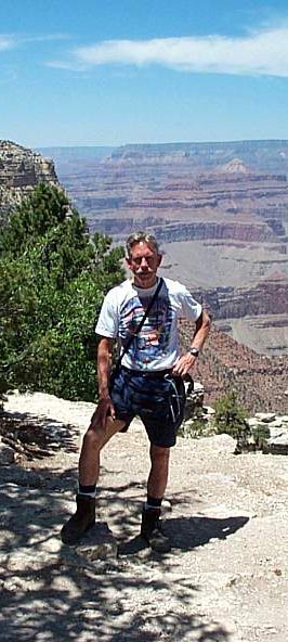 |
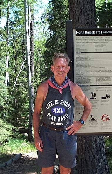
Canyon Chuck in June 2000, before his third TransCanyon hike. |
Canyon Chuck, June 2000 |
| The trail is at the bottom of the canyon at the center of the picture, on the other side of the Colorado River, 7 miles away via the South Kaibab Trail.
The North Kaibab Trail then runs along along the Bright Angel Creek in the Bright Angel Canyon, for another 14 miles. (See map.) |
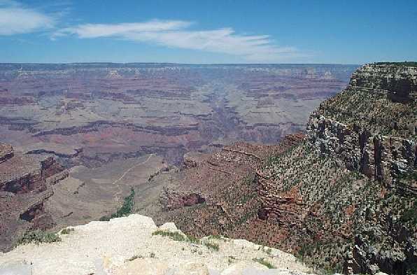 |
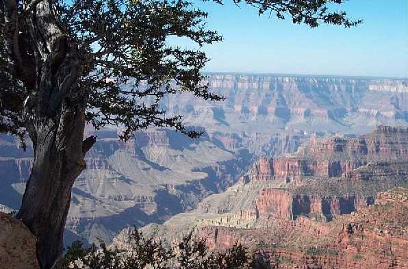
North Kaibab Trail from the south rim, looking north. |
 |
|
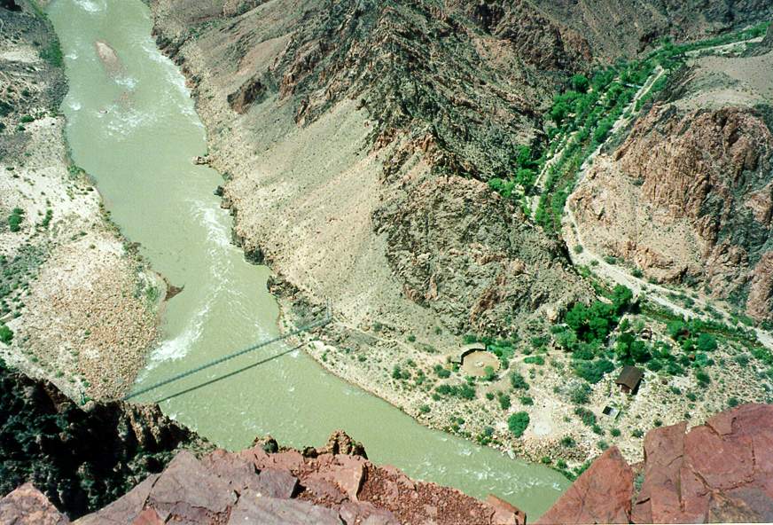
Bright Angel Campground from the Tonto Plateau. |
 |
|
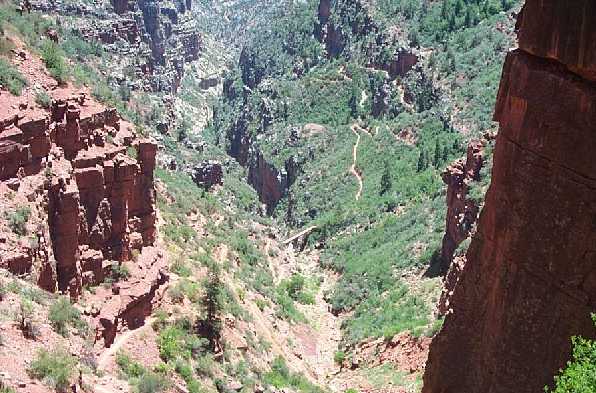
Only a few miles from the north rim, looking back on the trail. |
 |
|
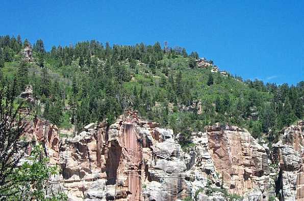
Nearly to the top on the north side, looking up at the Alpine topography from the desert. |
 |
|
North Kaibab Trail from the north rim, looking south. |
 |
Total distance Rim-to-Rim is about 21 trail miles, including a one-mile vertical change in elevation down, and of course another vertical mile climb up. |
Canyon Chuck after his third Rim-to-Rim hike. |